


Crop Mapping and Modeling
ICBA headquarters, Dubai, UAE
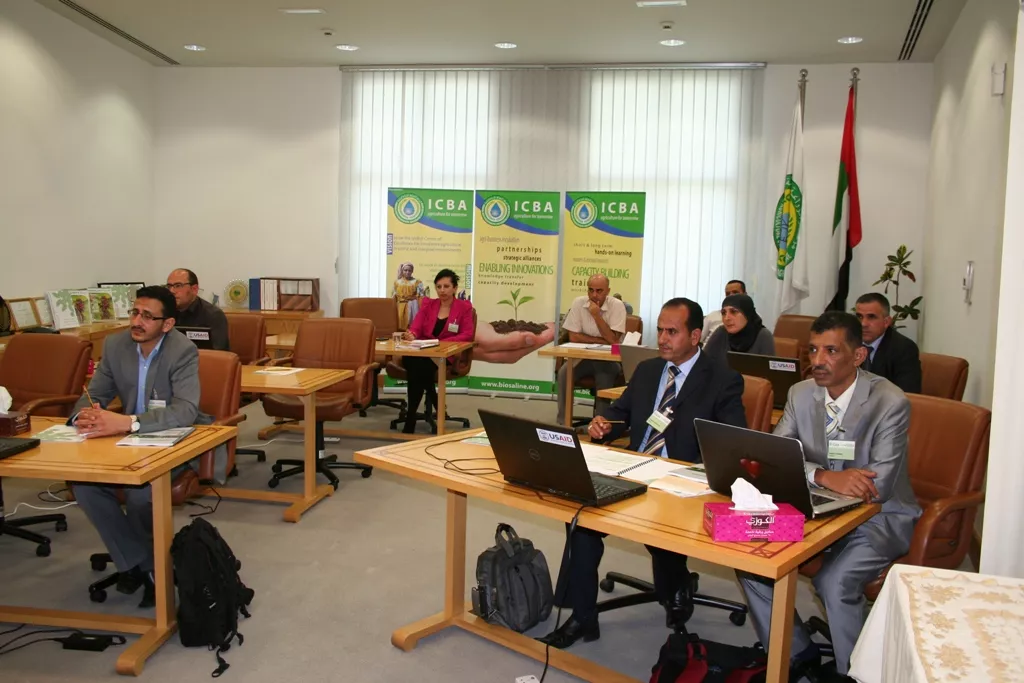
Crop mapping and yield modeling are essential sets of data for managing food production and agricultural water use in any country. In the Middle East and North Africa region this is particularly important given the challenges of food and water security. However, up-to-date maps do not exist of areas under crop production and the accuracy of yield estimates is variable. Satellite imagery and crop models can help fill some of these data gaps. To this end a technical workshop developed by ICBA and supported by USAID will provide introductory capacity building to develop skills in young engineers to produce crop maps from satellite images, collect field data to verify these maps, and to begin to use crop modeling for estimating yields. These engineers will come from Palestine, Tunisia and Yemen.
Following the workshop ICBA will continue to work with the engineers to support further field data collection in the three countries. The end result will be new crop and irrigation maps developed in partnership and shared with the main decision-making organizations to support their policy and management work. The course structure includes hands-on training through practical exercise, lectures and open discussions. The program will cover technical training using ENVI software for analyzing satellite images, and DsSAT crop modeling exercises. It will also include hands-on training using GPS and camera-GPS for field data collection and downloading the data into a GIS for use in the mapping work.
- United States Agency for International Development (USAID)
- International Center for Biosaline Agriculture (ICBA)
Dr. Rachael McDonnell